WaveWeather
In addition to accurate sea state, Miros WaveWeather delivers high-quality, real-time measurements of local environmental conditions important for successful planning, decision-making, and execution of on-and offshore activities.
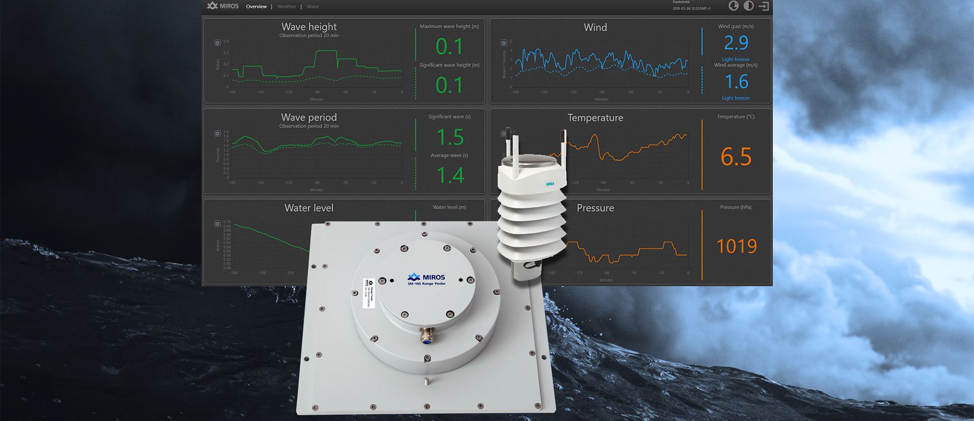


Real-time weather conditions
Why WaveWeather?
WaveWeather gives real-time access to: Wave height and period, Airgap, Water level, Tide, Air pressure, Temperature, Humidity, Rainfall, and Wind speed & direction.
Accurate data are available to decision-makers anytime, anywhere, on any device. Access to real-time and historical local-environmental data which can easily be shared with third parties such as vessels and operation centers.
Improved operational support for weather-critical offshore operations. WaveWeather consists of IoT-enabled devices like Miros RangeFinder and a Vaisala Weather Transmitter, both securely connected to the Miros Cloud. Both sensors are certified by DNV.
Plug-and-play sensors with embedded processing and browser-based graphical user interfaces remove the requirement for integration or external processing. Extremely cost-effective with no equipment submerged in water, reducing physical maintenance to a minimum.
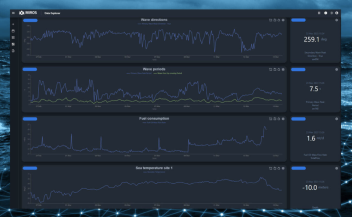
Data Analysts: Data Explorer is a great tool for data analysts who want to dive deep into their data and discover meaningful insights. With Data Explorer’s powerful querying and visualization features, you can quickly identify patterns and trends in your data that might otherwise be difficult to spot.
Operations teams: Can use Data Explorer to gain a better understanding of their operations and make data-driven decisions.
Site managers: With the ability to analyse data from multiple sources, Data Explorer can help site managers to identify opportunities for optimising their processes and reach their operational targets.
Who can benefit?